Looking at a map of the Unites States, you can see that state borders are quite irregular in the east, where mountains, rivers, and early settlers decided where they would be. However, the country does love straight lines, as every state has at least one- except Hawaii. In the west, Colorado and Wyoming stand out as rectangles. As you might assume, that’s because we already had a federal government when they were settled. But a lot happened between the time that Colorado’s borders were defined by Congress in 1876 and when surveyors marked the actual borders. While Colorado may look as if it is composed of four straight sides, there are actually 697 sides!
Only in 1879 did the first boundary survey team get around to translating Congress's abstract into actual boundary markers. The official border would not be the delimited one, but the demarcated one. Unfortunately, 19th-century surveyors lacked satellites and other high-precision measurement tools.
Let's not be too harsh: considering the size of the task and the limitation of their tools — magnetic compasses and metal chains — they did an incredible job. They had to stake straight lines irrespective of terrain, often through inhospitable land.
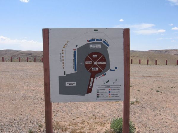
Even the famous Four Corners marker is 560 feet from where it was originally supposed to be! These aberrations became the legal border over time. Read how it all happened at Big Think. -via Kottke
(Image credit: Cwolfsheep)